
Syed Shayan Real Estate Archive
Syed Shayan Real Estate Archive
From Real Estate History
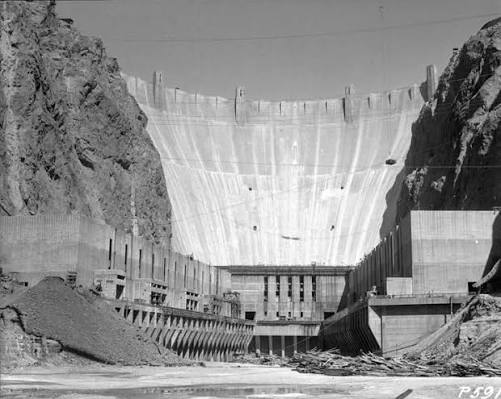
Hoover Dam was named after Herbert Hoover, the 31st President of the United States, who strongly supported the project before becoming president. The dam was also called Boulder Dam for some years, but in 1947 the U.S. Congress officially restored the name Hoover Dam.
Preliminary construction work began at Hoover Dam on the Colorado River on 7th july 1930, marking the start of a project that would reshape the economic and real estate geography of the American Southwest. Built during the Great Depression, the dam was not merely an engineering achievement; it became a foundation for urban expansion, land development and long-term regional planning.
Before Hoover Dam, the Colorado River was both a source of opportunity and a recurring threat. Seasonal floods damaged farms, settlements and infrastructure, while large desert areas remained difficult to develop due to unreliable water supply. The dam changed that equation by controlling floods, storing water, generating hydroelectric power and supporting large-scale irrigation.
Its impact on real estate was historic. Reliable water and electricity made it possible for cities, towns and agricultural communities in Nevada, Arizona and Southern California to expand with greater confidence. Land that was once considered risky or unsuitable for settlement became more valuable as infrastructure improved. Housing, commercial districts, farming settlements and industrial activity all benefited from the stability created by the dam.
The project also played an important role in the development of Las Vegas and nearby planned communities. Boulder City, originally built to house dam workers, became a model of planned urban settlement linked directly to a major infrastructure project. Over time, the availability of power and water helped support population growth, tourism, construction and investment across the region.
In real estate history, Hoover Dam stands as a reminder that property markets do not grow through land alone. They grow through infrastructure, water security, energy supply, connectivity and state planning. The project showed how one strategic public works initiative could transform desert land into a powerful economic corridor.
▪ Reference(s):
ہوور ڈیم کا نام امریکہ کے 31 ویں صدر ہربرٹ ہوور کے نام پر رکھا گیا، جنہوں نے صدر بننے سے پہلے اس منصوبے کی بھرپور حمایت کی تھی۔ اس ڈیم کو کچھ عرصے تک بولڈر ڈیم بھی کہا جاتا رہا، تاہم 1947 میں امریکی کانگریس نے باضابطہ طور پر اس کا نام دوبارہ ہوور ڈیم بحال کر دیا۔
دریائے کولوراڈو پر ہوور ڈیم کے مقام پر ابتدائی تعمیراتی کام7 جولائی 1930 میں شروع ہوا۔ یہ منصوبہ بعد میں امریکہ کے جنوب مغربی خطے کی معاشی اور رئیل اسٹیٹ جغرافیہ کو بدلنے والے اہم ترین منصوبوں میں شمار ہوا۔ گریٹ ڈپریشن کے دور میں بننے والا یہ ڈیم صرف انجینئرنگ کا شاہکار ہی نہیں تھا بلکہ شہری پھیلاؤ، زمین کی ترقی اور طویل المدتی علاقائی منصوبہ بندی کی بنیاد بھی بنا۔
ہوور ڈیم سے پہلے دریائے کولوراڈو ایک طرف امکانات کا ذریعہ تھا تو دوسری طرف مسلسل خطرہ بھی۔ موسمی سیلاب زرعی زمینوں، آبادیوں اور بنیادی ڈھانچے کو نقصان پہنچاتے تھے، جبکہ وسیع صحرائی علاقے پانی کی غیر یقینی دستیابی کے باعث ترقی کیلئے مشکل سمجھے جاتے تھے۔ ڈیم نے اس صورتحال کو بدل دیا۔ اس نے سیلاب پر قابو پایا، پانی ذخیرہ کیا، پن بجلی پیدا کی اور بڑے پیمانے پر آبپاشی کو ممکن بنایا۔
رئیل اسٹیٹ کے حوالے سے اس منصوبے کے اثرات تاریخی تھے۔ پانی اور بجلی کی قابل اعتماد فراہمی نے نیواڈا، ایریزونا اور جنوبی کیلیفورنیا کے شہروں، قصبوں اور زرعی آبادیوں کو اعتماد کے ساتھ پھیلنے کا موقع دیا۔ وہ زمینیں جو پہلے غیر محفوظ یا رہائش کیلئے غیر موزوں سمجھی جاتی تھیں، بہتر انفراسٹرکچر کے بعد زیادہ قیمتی بن گئیں۔ رہائشی منصوبوں، تجارتی مراکز، زرعی بستیوں اور صنعتی سرگرمیوں کو اس استحکام سے براہ راست فائدہ پہنچا۔
اس منصوبے نے لاس ویگاس اور قریبی منصوبہ بند آبادیوں کی ترقی میں بھی اہم کردار ادا کیا۔ بولڈر سٹی، جو ابتدا میں ڈیم کے مزدوروں کیلئے بسایا گیا تھا، ایک بڑے انفراسٹرکچر منصوبے سے جڑی منصوبہ بند شہری آبادی کی مثال بن گیا۔ وقت کے ساتھ بجلی اور پانی کی دستیابی نے پورے خطے میں آبادی، سیاحت، تعمیرات اور سرمایہ کاری کو فروغ دیا۔
رئیل اسٹیٹ تاریخ میں ہوور ڈیم یہ یاد دلاتا ہے کہ پراپرٹی مارکیٹ صرف زمین سے نہیں بڑھتی، بلکہ پانی، توانائی، انفراسٹرکچر، رابطوں اور حکومتی منصوبہ بندی سے ترقی کرتی ہے۔
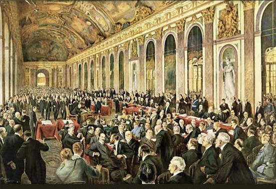
The structure of the world map and globe as they are recognised today is fundamentally rooted in the decisions taken following the Paris Peace Conference, which...
Read More →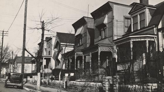
On October 27, 1835, the first official institutional mortgage system emerged in the United States through 'Terminating Building Societies' (TBS), marking a rev...
Read More →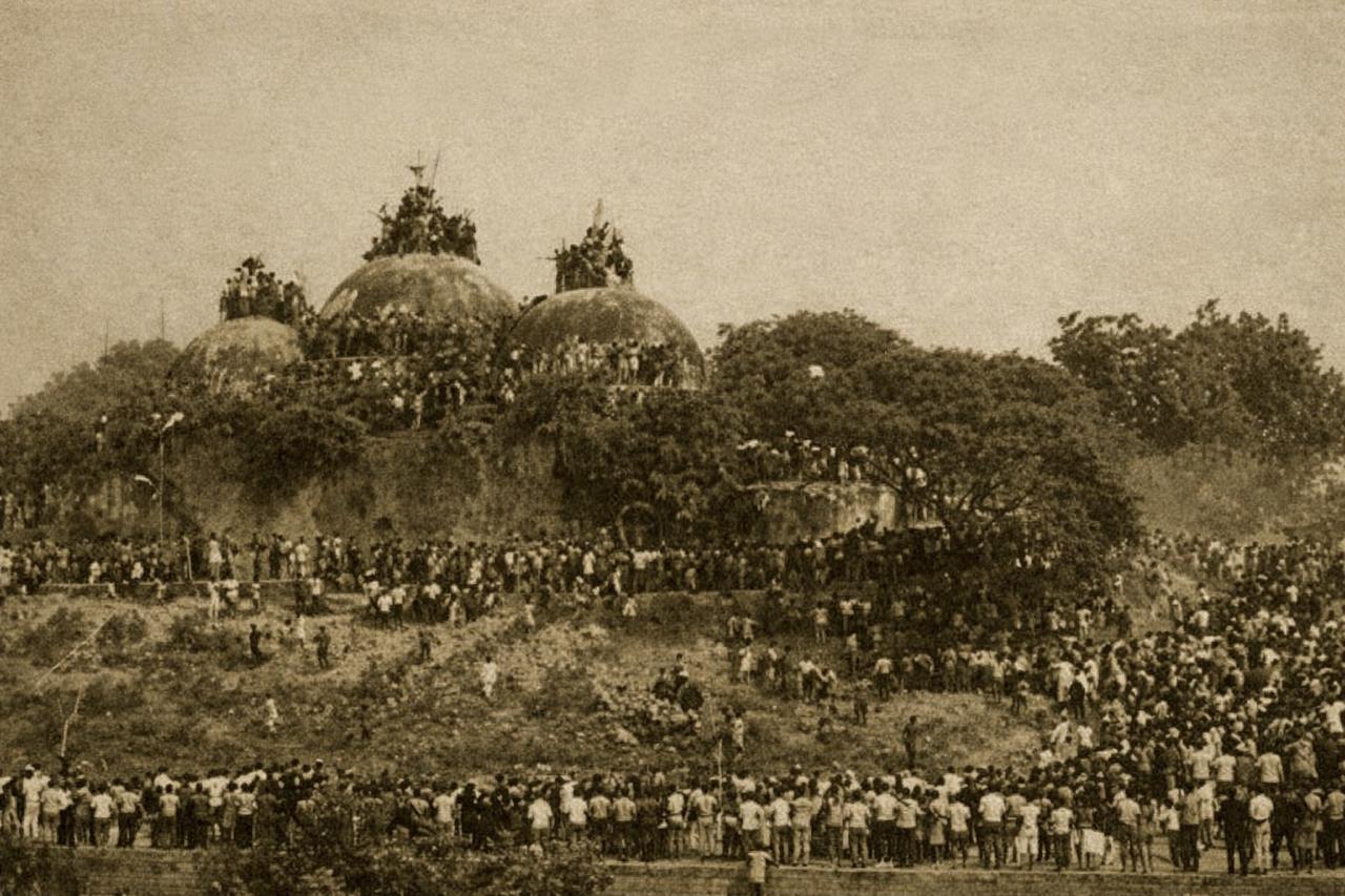
On 6 December 1992, the historic Babri Masjid in the Indian city of Ayodhya was demolished by a large crowd. This event constituted a profound religious trauma ...
Read More →
Hong Kong officially returned to Chinese sovereignty and became the Hong Kong Special Administrative Region under the “One Country, Two Systems” framework. This...
Read More →On November 12, 1892, the British Municipal Authority of Karachi approved the Frere Town Housing Project, one of the earliest organized residential developments...
Read More →
The acquisition of land for the Model Town Society was one of the most remarkable and spirited chapters in its early history. Dewan Khem Chand and his...
Between 1921 and 1924, the land for Model Town Lahore was acquired in successive phases. The process began in 1921, shortly after the establishment of...
No comments yet. Be the first to comment!