

Housing Societies of Pakistan
Municipal Planning Model Satellite Town Rawalpindi
Satellite Town represents an established urban neighbourhood within Rawalpindi where residential streets, local commerce, public institutions and major connecting roads operate within the wider municipal fabric of the city.
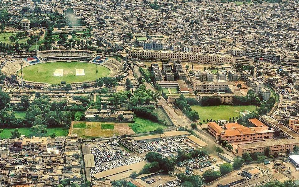
A residential street in Satellite Town, Rawalpindi.
01
Neighbourhood Structure
Residential blocks connect with local streets, community facilities and commercial activity.
02
Urban Connectivity
Major roads such as 6th Road and Murree Road connect the neighbourhood with the wider Rawalpindi and Islamabad urban area.
03
Municipal Integration
The area functions as part of the existing city rather than as an isolated master planned scheme.
The Satellite Town model is useful for understanding how planned residential areas evolve over time through municipal services, commercial growth, transport connections and changing urban needs.